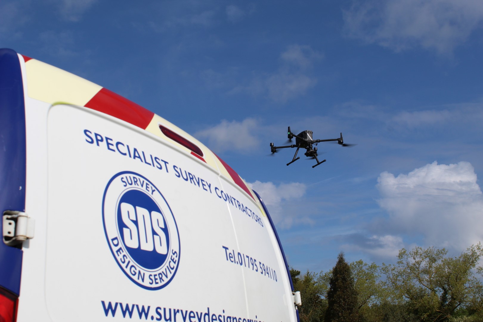
UAV/Drone Surveys
UAV & Drone Surveys
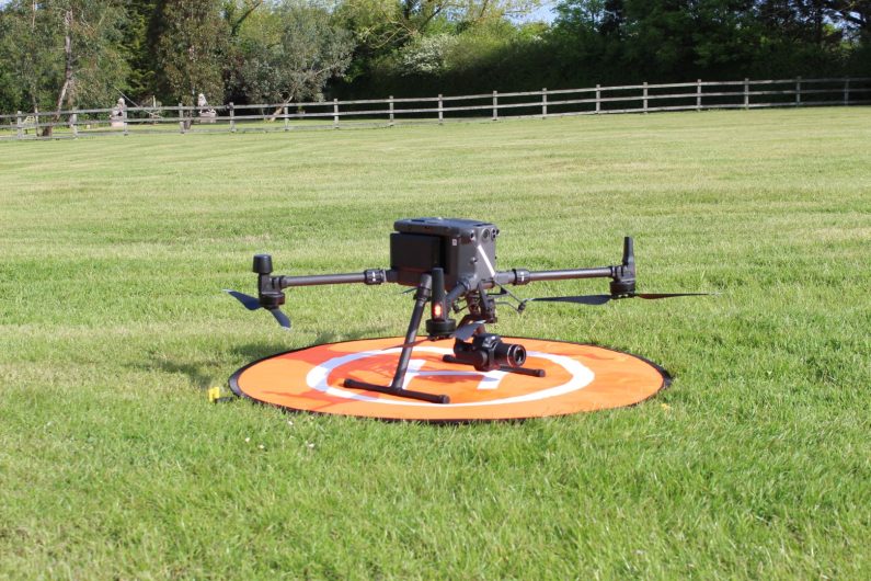
Drone surveys are a versatile method for mapping and visual inspection.
Survey Design Services is a fully qualified company for UAV surveys, our GVC Pilots are highly trained and motivated to maximizing the productivity within the UAV department.
- SDS uses DJI UAV’s and sensors which give access to the latest technology for the fastest and safest data acquisition.
- Our number one priority is that our clients requirements are fully understood so we may apply a suitable and safe programme to meet your deadlines.
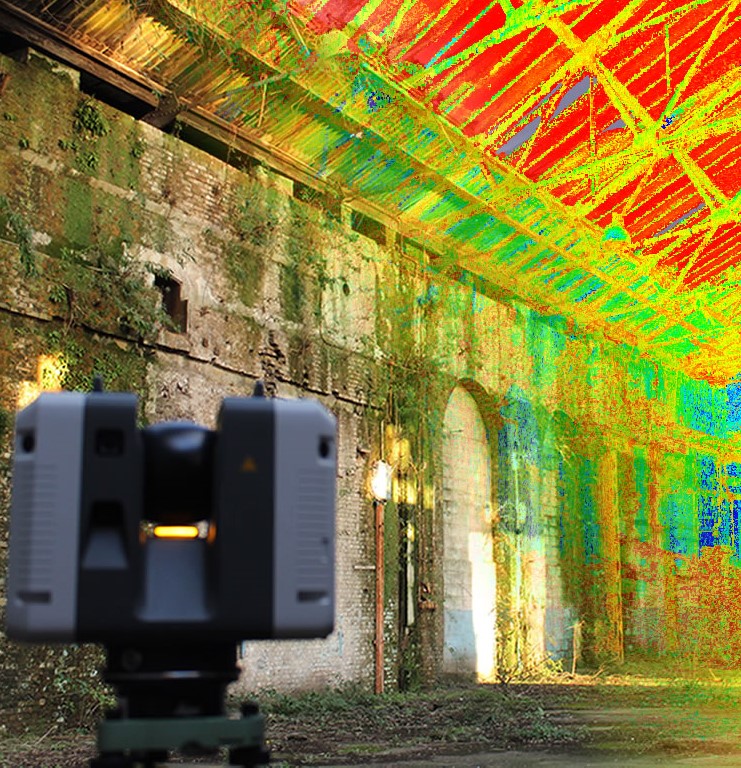
- Our Lidar and photogrammetry team are able to create wide range deliverables, including - full-color point cloud, orthomosaic, Digital Surface Model (DSM), 3D textured mesh.
- UAV survey’s are ideal for areas where the access is limited or unsafe conditions are present.
- UAV’s provide a safe and cost-efficient survey method minimising the amount of time on site for the amount of information acquired.
- Drone surveys can operate with other technology simultaneously to get the best result for the project.
- UAV mapping can be used for topographical, MBS (measured building survey), construction site monitoring, site survey, mining survey, environmental survey, planning and development survey.
